- Home
- Destinations
Eight placeswith holes
From Arches to Bryce: where we walk, what the rock is doing there, and which expedition takes you.
-
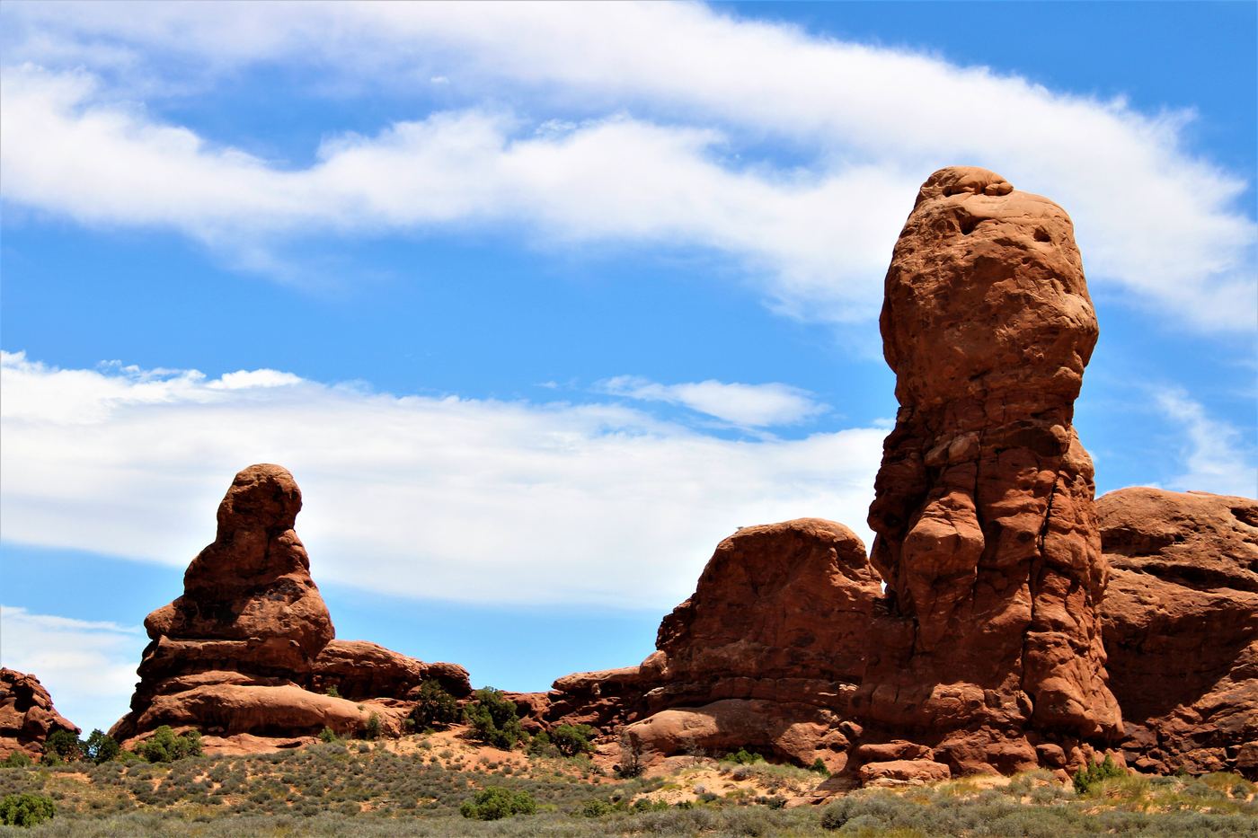 Utah · 2,000+ arches
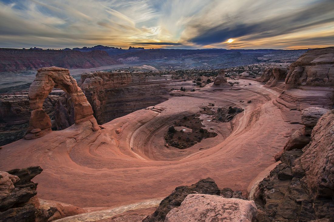
Arches National Park
The densest collection of natural arches on Earth. Entrada sandstone fins crack, freeze and fall away until only the frame is left. Timed-entry tickets are required in high season; we book them.
- Elevation
- Size
- Coordinates
- 4,085–5,653 ft
- 76,679 acres
- 38.7331° N, 109.5925° W
-
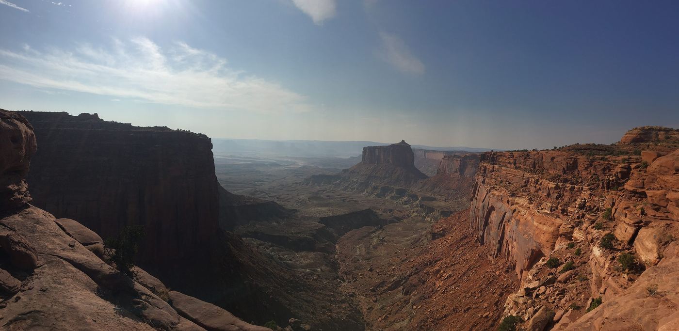 Utah · Mesa Arch sunrise
Canyonlands · Island in the Sky
A mesa 1,000 ft above the White Rim, with the Green and Colorado rivers carving below. Mesa Arch frames the sunrise like nothing else on the plateau.
- Elevation
- Size
- Coordinates
- 6,100 ft
- 337,598 acres
- 38.3269° N, 109.8783° W
-
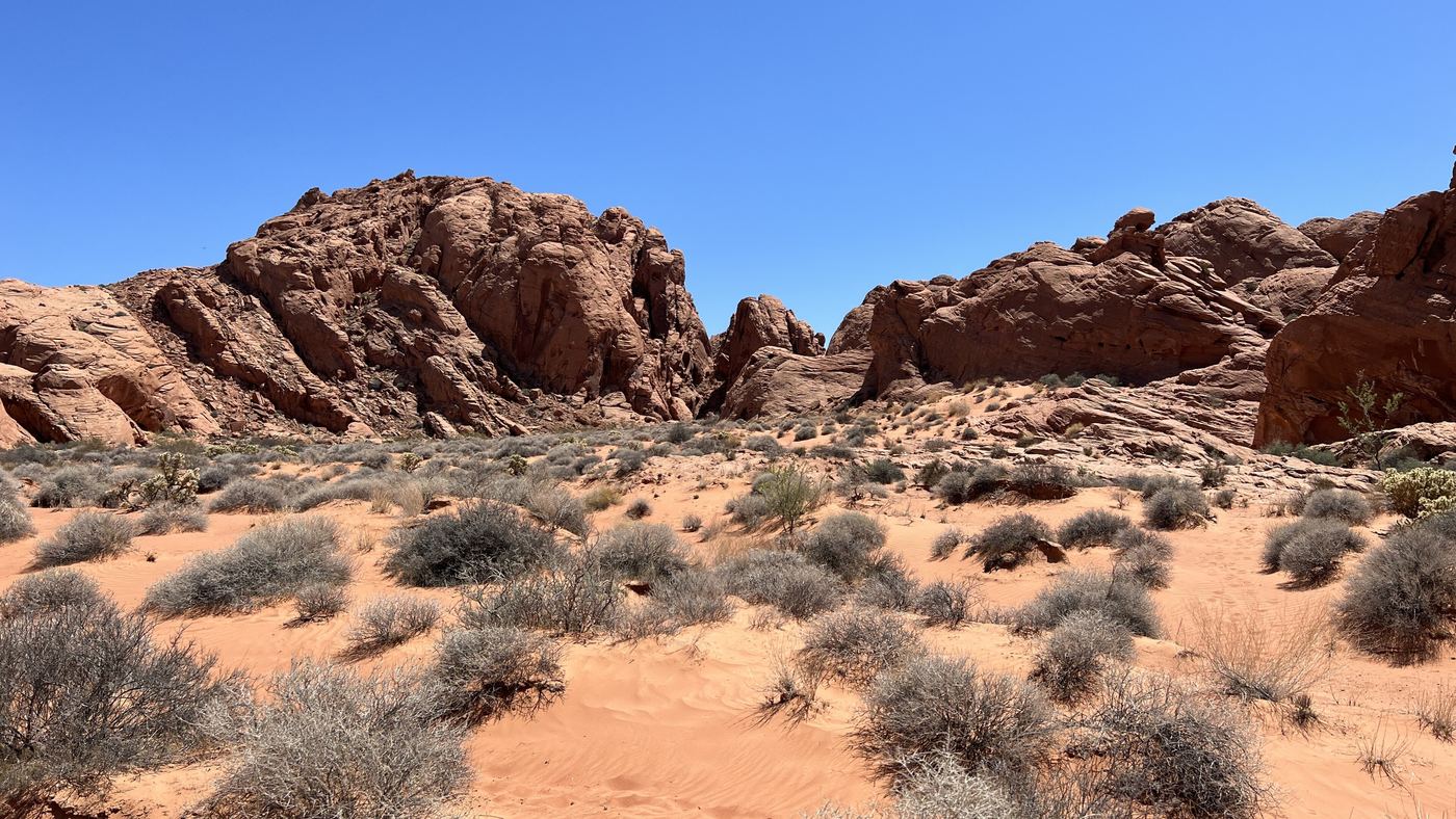 Nevada · Tafoni & petroglyphs
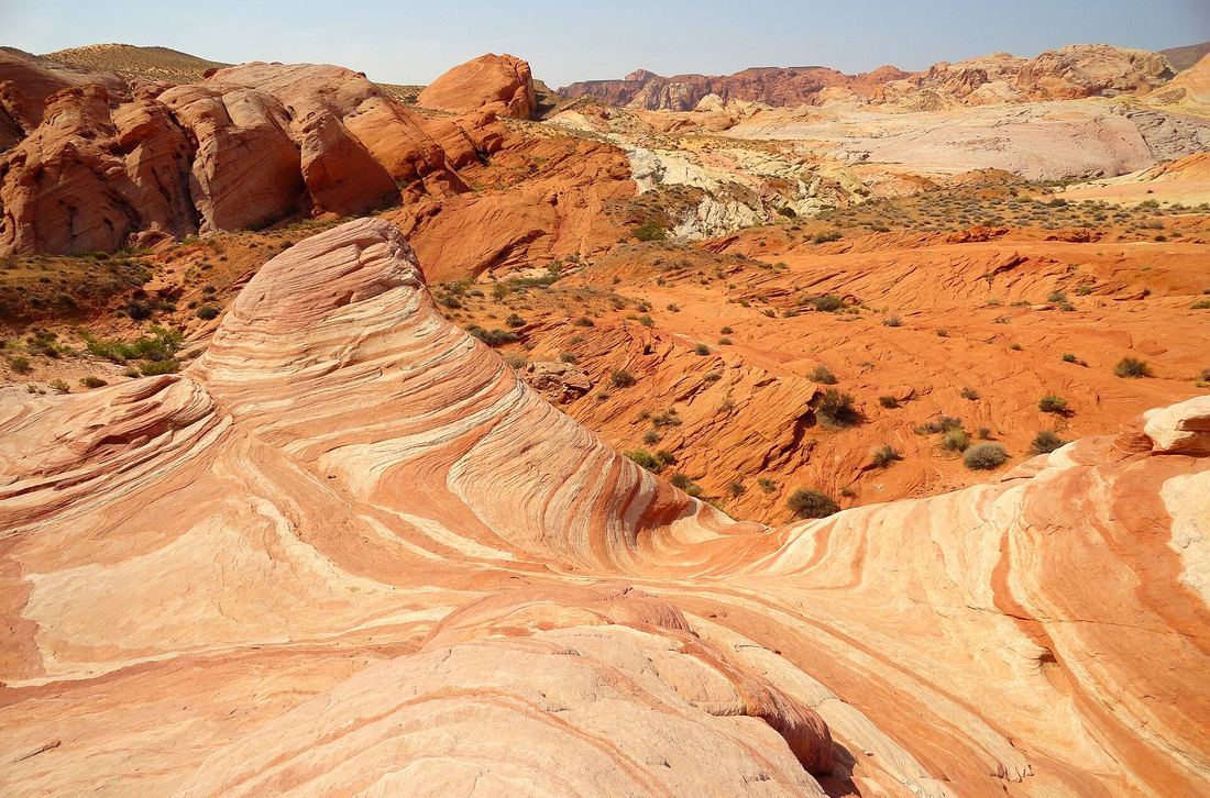
Valley of Fire State Park
Nevada's oldest state park: red Aztec sandstone shot through with holes, 2,000-year-old petroglyphs and the striped Fire Wave. Best from October to April.
- Elevation
- Size
- Coordinates
- 2,000 ft
- 46,000 acres
- 36.4299° N, 114.5135° W
-
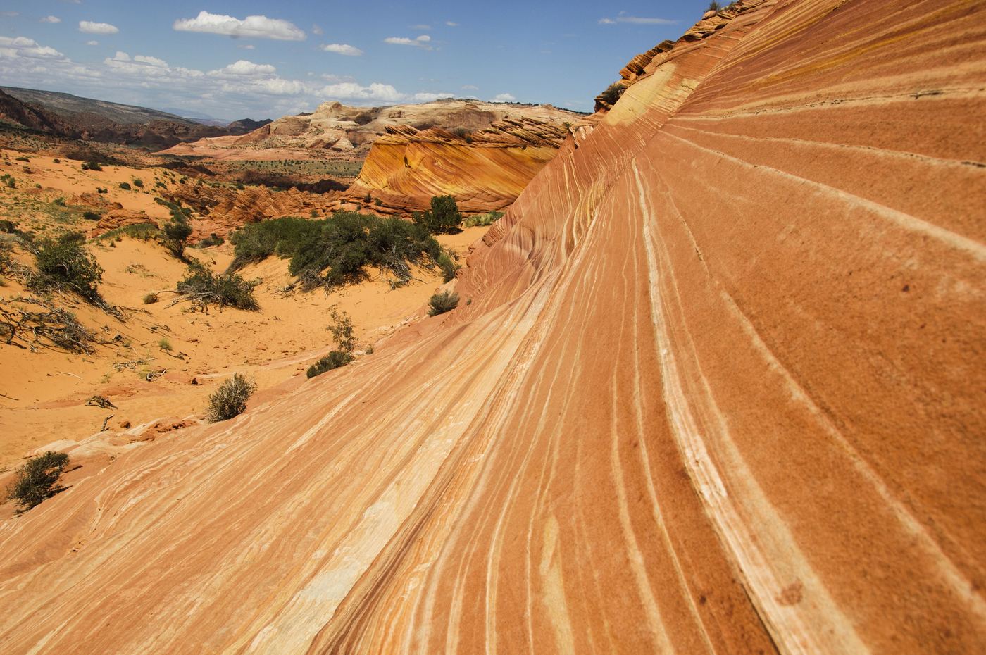 Arizona · The Wave
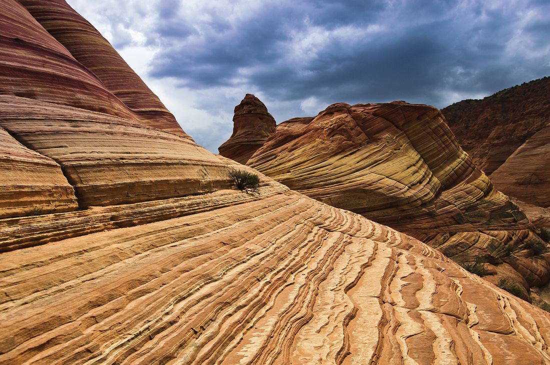
Coyote Buttes North
Petrified dunes sanded into waves of red and yellow bands. Entry is by lottery only, which keeps it wild. We enter for you and have a plan B ready.
- Elevation
- Size
- Coordinates
- 5,200 ft
- 64 permits a day
- 36.9959° N, 112.0063° W
-
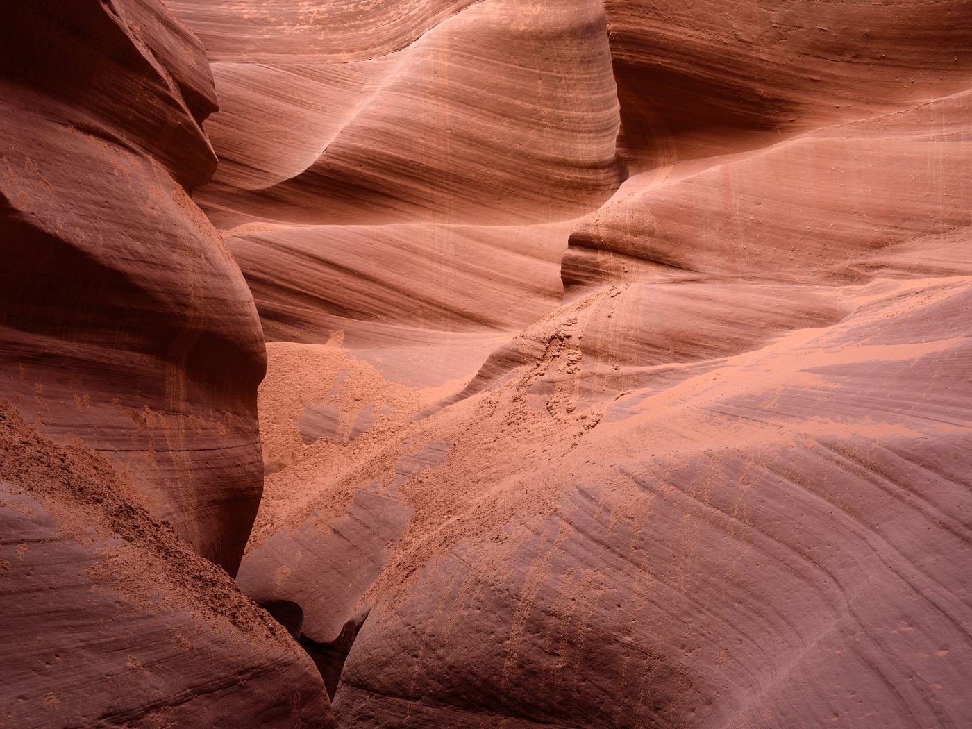 Arizona · Light beams
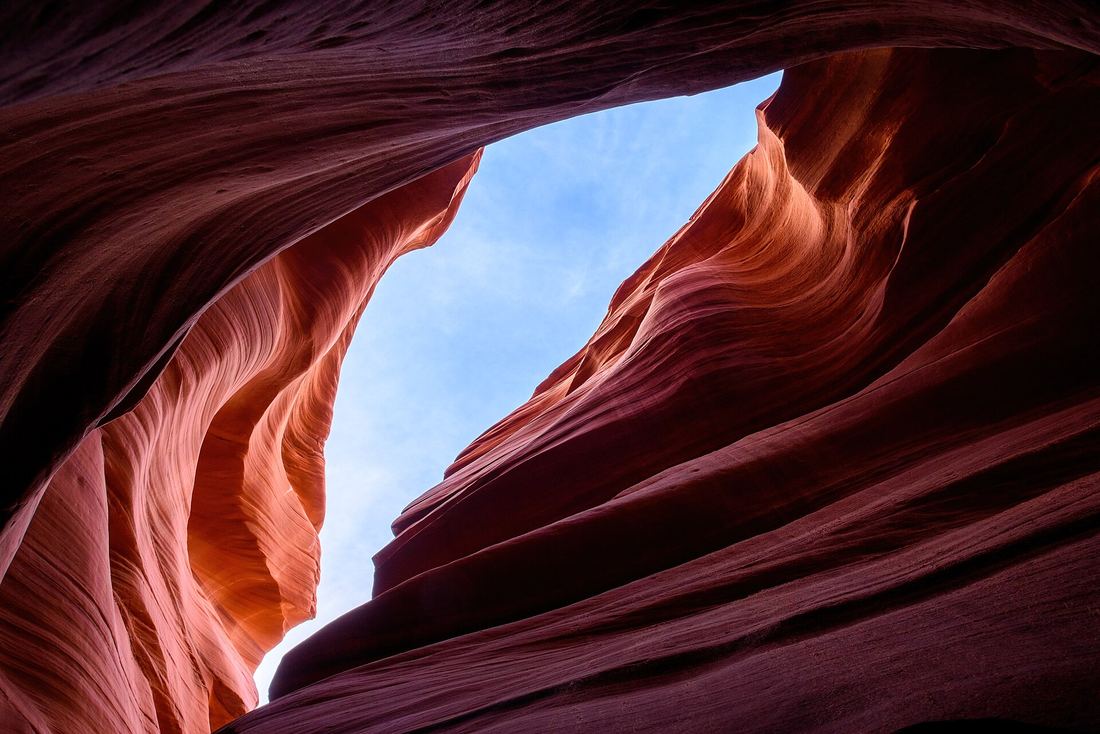
Antelope Canyon & Page
The most photographed slot canyons in the world, on Navajo land and open only with authorized guides. Horseshoe Bend is ten minutes away.
- Elevation
- Size
- Coordinates
- 3,700 ft
- Navajo Nation
- 36.8619° N, 111.3743° W
-
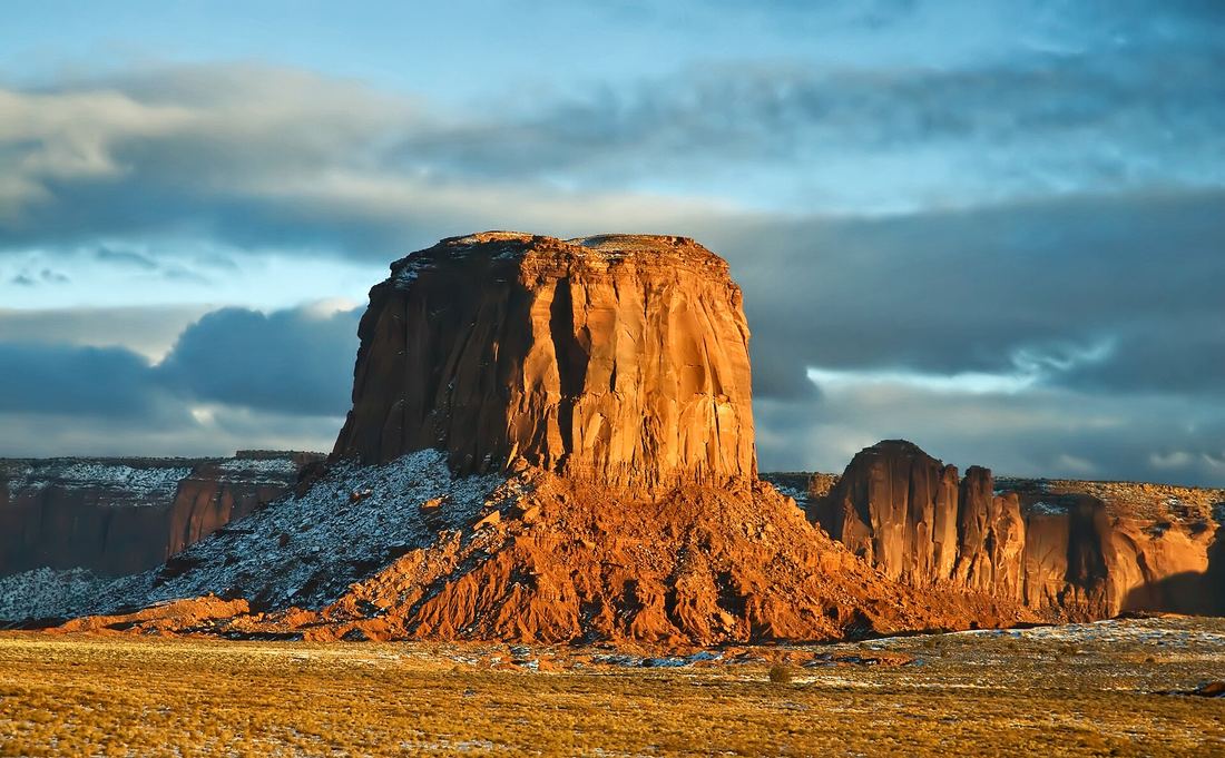
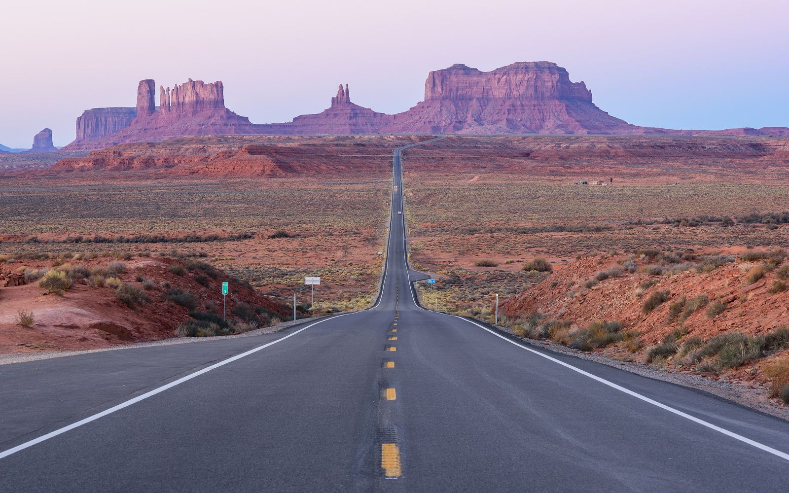 Utah · Arizona · Navajo Tribal Park
Monument Valley
Sandstone buttes rising 1,000 ft from the valley floor. The backcountry is open only with a Navajo guide, which is exactly how it should be seen.
- Elevation
- Size
- Coordinates
- 5,564 ft
- 91,696 acres
- 36.9980° N, 110.0985° W
-
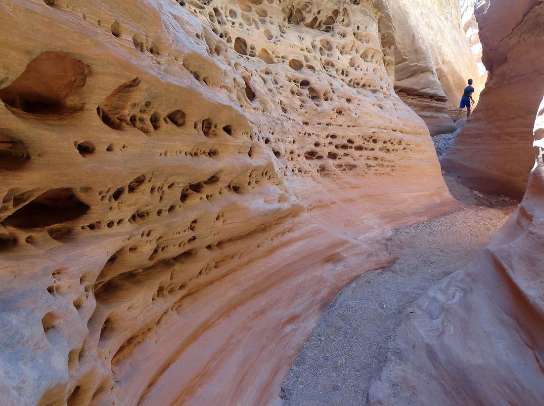
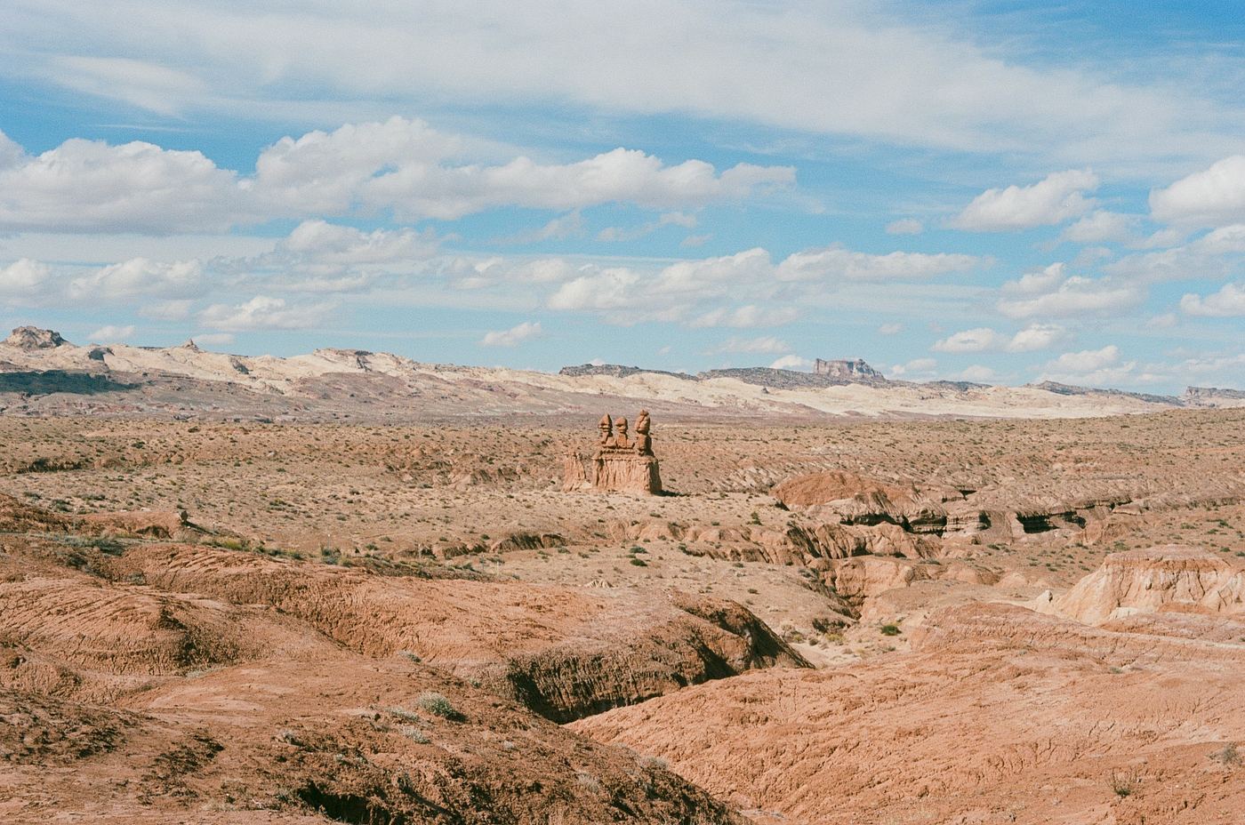 Utah · Honeycomb slots
Goblin Valley & San Rafael Swell
Thousands of mushroom-shaped hoodoos and, next door, slot canyons with walls like Swiss cheese. Some of the darkest skies in the lower 48.
- Elevation
- Size
- Coordinates
- 5,000 ft
- Wide open BLM land
- 38.5733° N, 110.7071° W
-
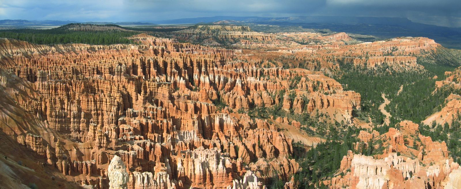 Utah · Hoodoo amphitheater
Bryce Canyon
Not a canyon at all but a row of amphitheaters filled with hoodoos. Cooler than the rest of the plateau — our summer escape and a private-trip favorite.
- Elevation
- Size
- Coordinates
- 8,000–9,115 ft
- 35,835 acres
- 37.5930° N, 112.1871° W
Field geology
What you are looking at.
Six formations you will meet on the plateau. Hover to see each one.
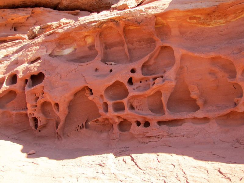
Tafoni
Salt crystals pry grains loose until pits merge into a honeycomb.
Canyonlands, UT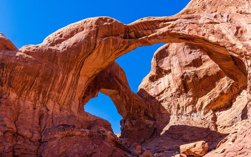
Arch
Frost widens a crack in a sandstone fin until the middle falls out.
Arches NP, UT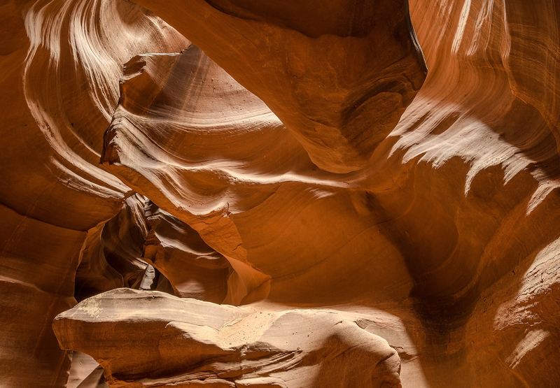
Slot canyon
Flash floods drill a hairline crack into a corridor 120 ft deep.
Page, AZ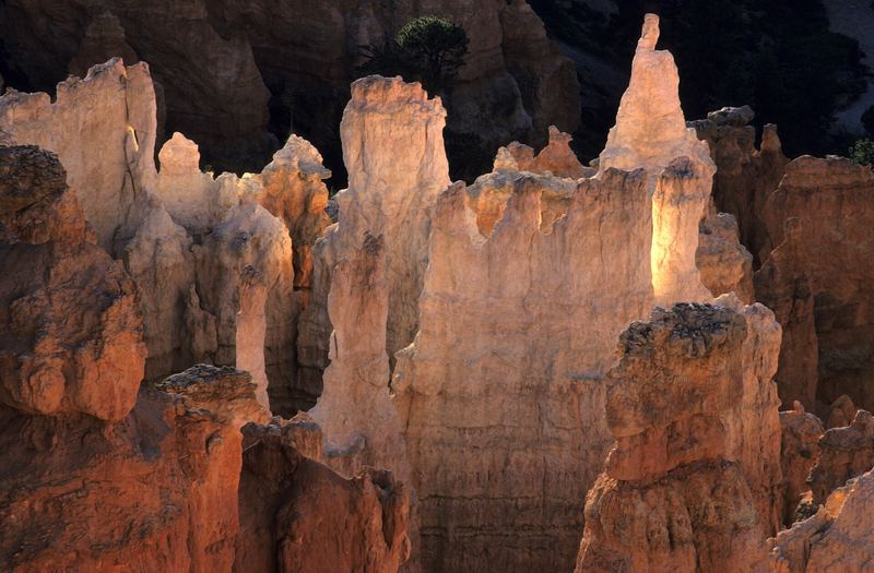
Hoodoo
A hard caprock shields a soft column while the rim retreats.
Bryce Canyon, UT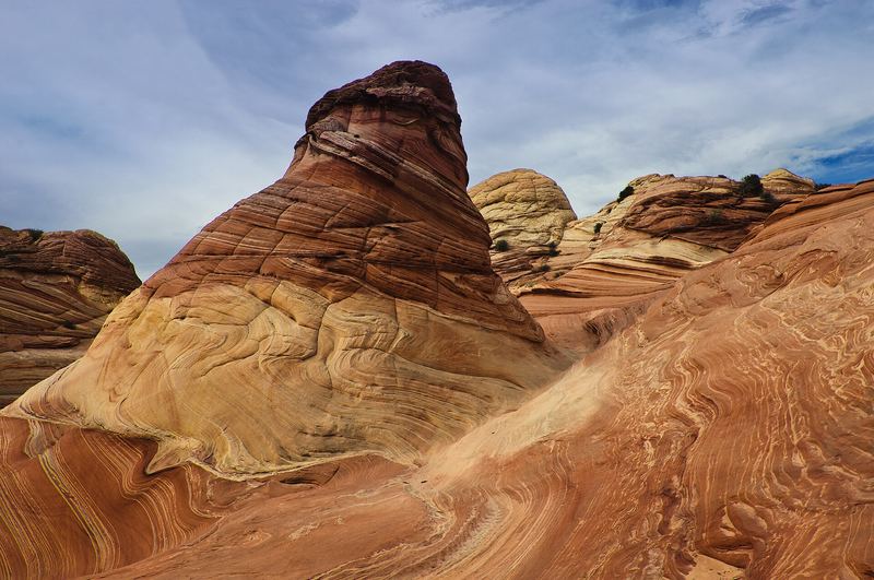
Sandstone wave
Fossil dunes, cross-bedded and sanded smooth by wind.
Coyote Buttes, AZ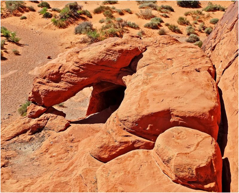
Window
Two alcoves erode from opposite sides until they meet.
Valley of Fire, NV
Dark sky parks
Half of every place happens after sunset.
Arches, Canyonlands, Goblin Valley and Bryce are all certified dark-sky parks. Add a night walk to any trip.